Ride Day 7
Castelnaudary → Carcassonne
Fri, Sep 18
Distance 24 mi
Hand-coded elevation 246 ft
Tonight: Carcassonne
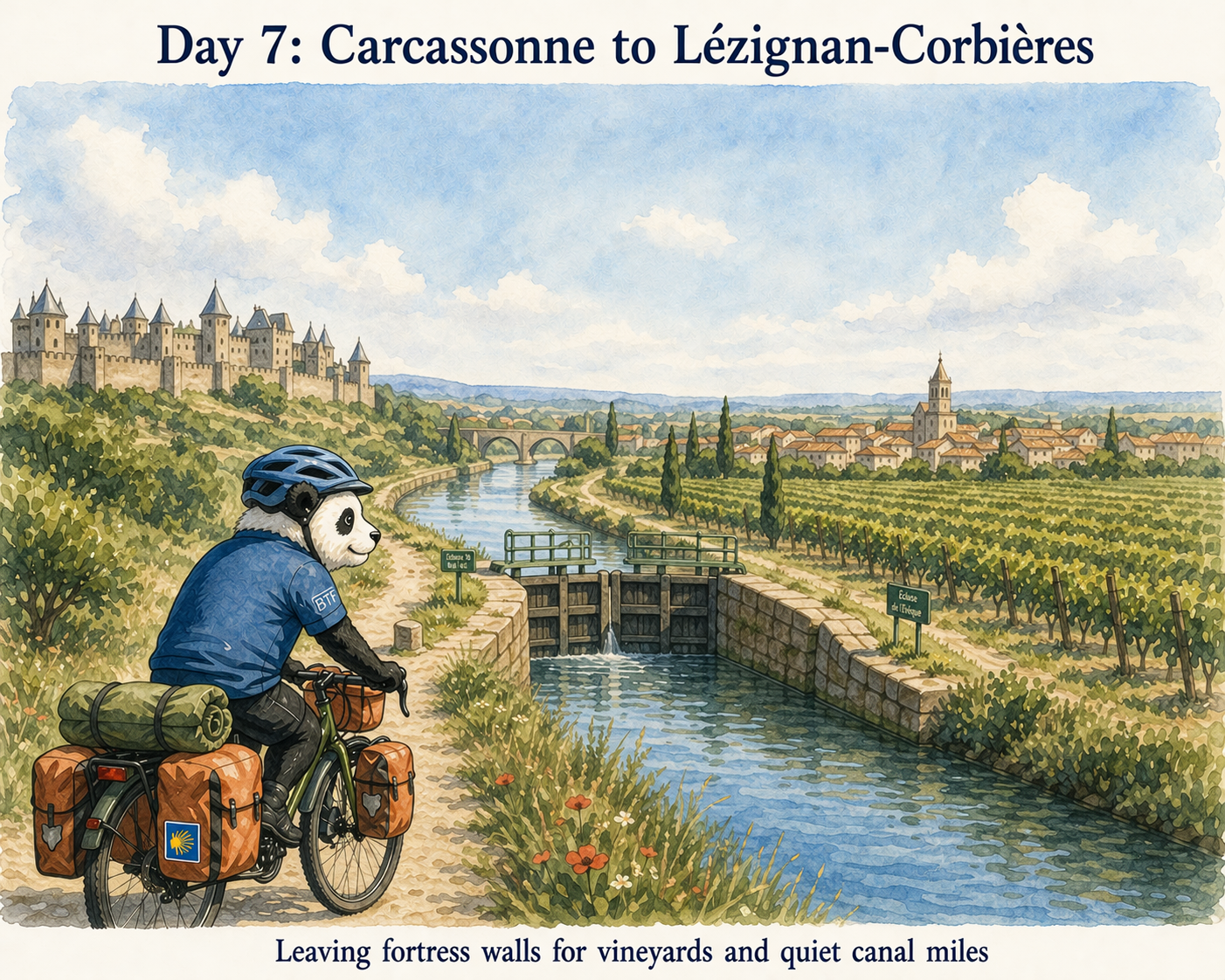
Carcassonne’s upper town changed hands in 1209, when crusaders took it during the Albigensian Crusade and forced Viscount Raymond Roger Trencavel out. The French crown later built the Cité into a border fortress facing Aragon. That role faded after the Treaty of the Pyrenees moved the frontier south in 1659. By the 19th century the walls were in poor shape, and Eugène Viollet-le-Duc led the restoration that gave the Cité much of its present look.
Water & Services
Mile 0.7
Near Church
Mas-Saintes-Puelles
Traditional village unit; check seasonal hours.
Mile 8.7
Town Center
Villepinte
Standard public facilities; stable signal but basic.
Mile 16.8
Near Collegiate
Montréal
Hilly location; smaller traditional infrastructure.
Mile 22.5
Canal/Lock (Grand Bassin)
on-route
Canal/Lock (Grand Bassin); Boulangerie La Fabrique — Quai Port 11400 Castelnaudary; Cafés
Mile 22.5
Boulangerie La Fabrique — Quai Port 11400 Castelnaudary
on-route
Canal/Lock (Grand Bassin); Boulangerie La Fabrique — Quai Port 11400 Castelnaudary; Cafés
Mile 24.3
SNCF Station
Carcassonne
Hard Anchor; modern units; highest reliability.
Mile 24.3
Boul. de la Cité
3 Rue Saint-Louis, 11000 Carcassonne
Located within the medieval Cité of Carcassonne.