Ride Day 6
Toulouse → Castelnaudary
Thu, Sep 17
Distance 41 mi
Hand-coded elevation 338 ft
Tonight: Castelnaudary
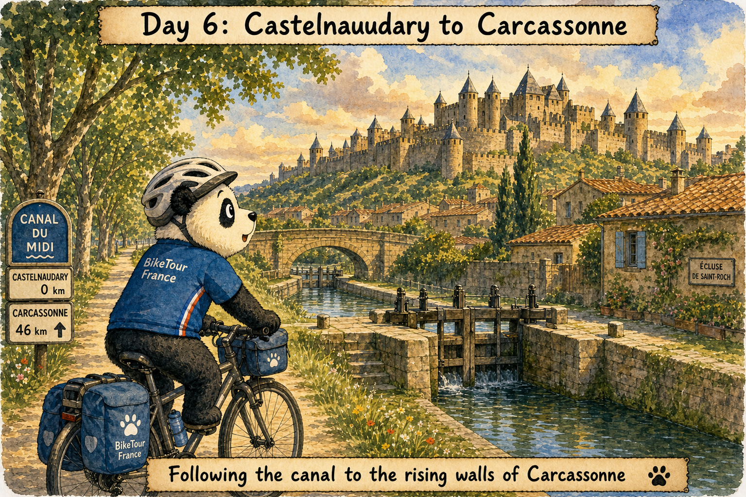
Castelnaudary became tied to the Canal du Midi as soon as the waterway opened. On 19 May 1681, the canal was formally inaugurated at the town’s Grand Bassin, six months after Pierre-Paul Riquet died. The basin then served freight boats and passengers moving between Toulouse and the Mediterranean. Castelnaudary is also tied to cassoulet, though the old tale that townspeople invented the dish during a medieval siege is just that: a tale, not proven history.
Water & Services
Mile 6.3
Place de la Gare
Villefranche-de-Lauragais
Reliable transit/tourism stop; active regional signal.
Mile 6.3
Boul. du Lauragais
179 Rue de la République, 31290 Villefranche-de-Lauragais
On the main street of the bastide town.
Mile 12.3
Near Canal
Gardouch
Canal-side stop; reliable for boaters and cyclists.
Mile 18.2
Town Square
Avignonet-Lauragais
Reliable village center; high-exposure route.
Mile 24.2
Town Center
Alzonne
Standard local signal; no recent updates.
Mile 29.4
Town Center
Labastide-d'Anjou
Essential transit stop; verified for 2026 season.
Mile 34.1
Grand Bassin
PREMIUM.
Highest maintenance due to massive boat hire base.
Mile 34.1
l'Épi d'Or
14 Cours de la République, 11400 Castelnaudary
On the main boulevard near the Canal du Midi basin.